(08-31-2025, 08:38 PM)My 2 cents Wrote: The previous storms that have headed our way but on a more northerly track have dissipated before they got here due to the unfavorable conditions. The statement “any deviation to the right would weaken the storm” indicates to me that those unfavorable conditions still exist.
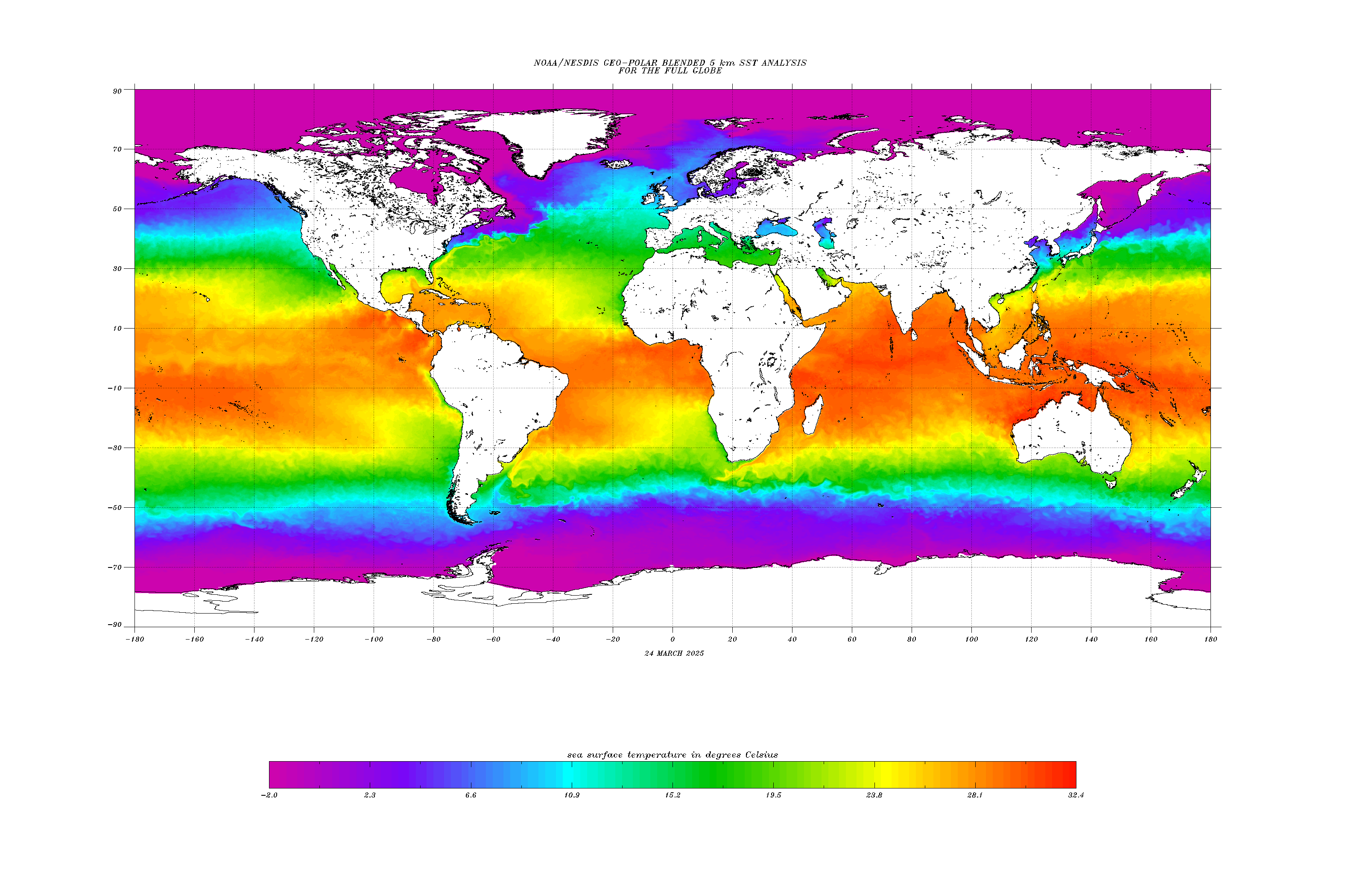
The energy for a storm of this nature is primarily derived from high ocean temps. With Kiko's current location and projected path, below the 15th parallel, it appearing to be hugging, following, the temperature gradient seen in NOAA's whole planet ocean temperature map below. And, with any luck, the storm would be appreciably weakened if it veers, as the statement mentions "to the right" which I assume is to the north into immediately cooler water.
The thing we have going for us, in this instance, is that wedge of cooler water (in greens) that is reaching, barely but still, towards our southern side from the east. Of course, if the storm turns towards us, and were to have enough momentum built up by the time it does, this is a fairly small barrier to be putting all our hopes on..
From.. https://www.ospo.noaa.gov/data/sst/conto...all.cf.gif
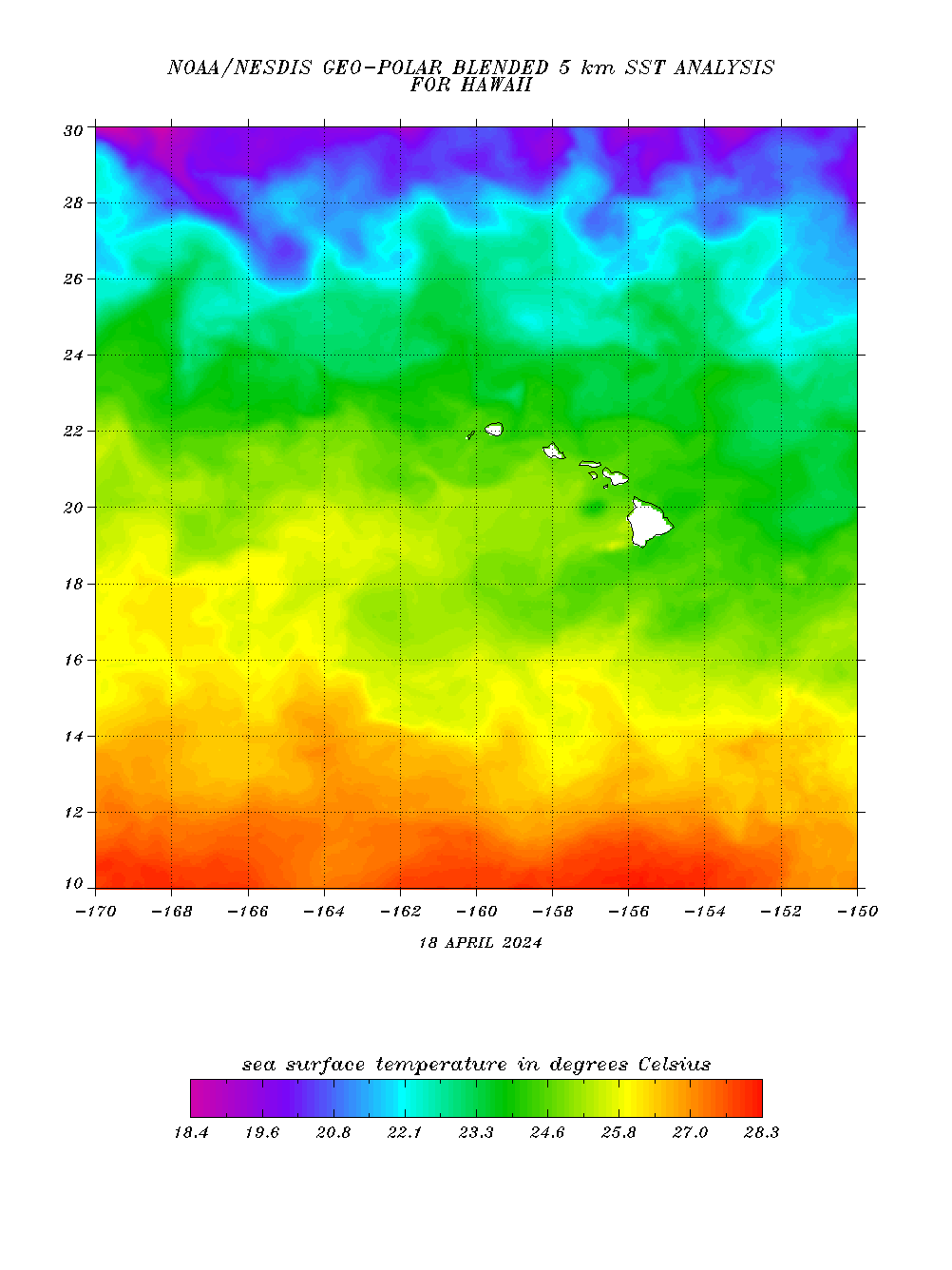
For a more nuanced view of temps around the islands here's NOAA's close up view of the area around the state..
From.. https://www.ospo.noaa.gov/data/sst/conto...aii.cf.gif