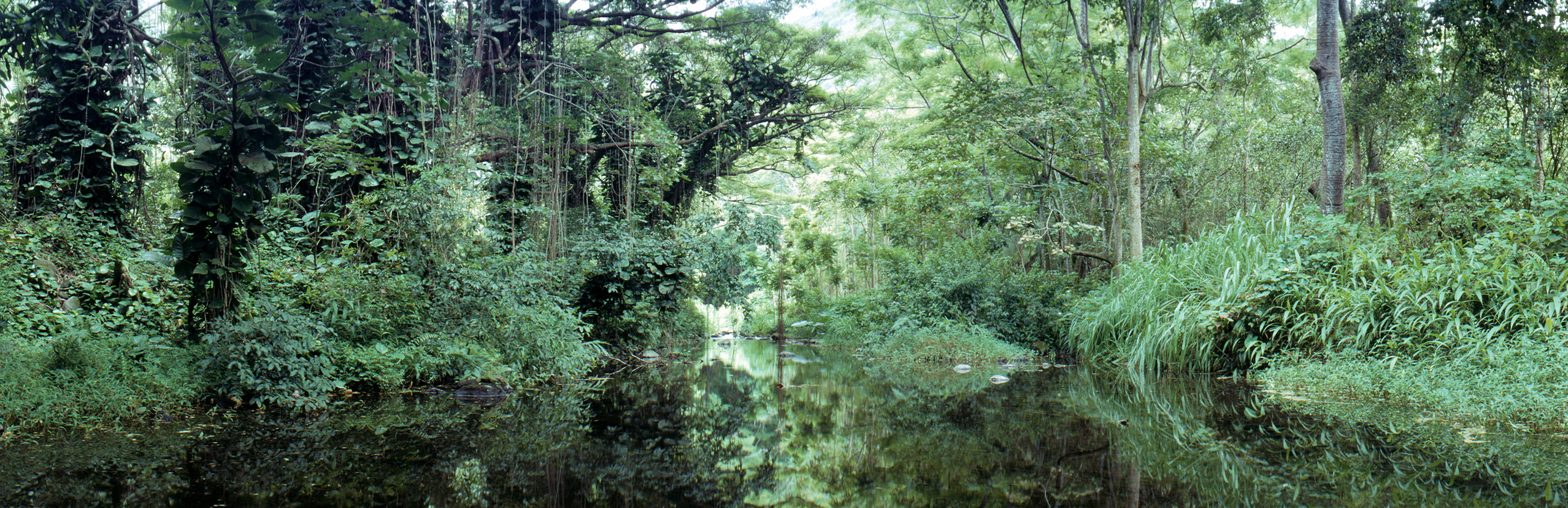
01-08-2026, 05:24 AM (This post was last modified: 01-08-2026, 05:25 AM by TomK.)
Wow, thanks for the confirmation!. I hiked that area quite a bit in the first few years after moving here. Unfortunately, a soccer accident stopped my hiking a long time ago, but I do remember isolated tree molds and the terrain looked familiar. I can't find the exact site on the map, but the environment rang a bell.
Is it still called the Mauna Ulu Trail? That's how we knew it decades ago, but there are few references to it these days. And yes, I know you know where my picture was taken!
01-08-2026, 07:05 AM (This post was last modified: 01-08-2026, 08:24 AM by TomK.)
Just for the interim and it should be easy. This was captured just a few minutes ago at the Mauna Kea summit. Meaningless points awarded for identifying names, features and locations of what can be seen in the picture.
01-09-2026, 04:07 AM (This post was last modified: 01-09-2026, 04:12 AM by TomK.)
I think this is harder than I realised. Unfortunately, the answers are no and no. A clue is that the picture was taken from Gemini North. I'll give you another clue: the silhouette in the middle-left of the picture is not on the Big Island.
Yes, Keck II on the left, the IRTF to the right, Maui/Haleakala in the distance. This was just an interim, but knowing this most of the other features (towns, highways etc.) are likely easy to figure out. I don't know what the really bright light is just to the right of the middle of the picture, my best guess is the landing lights from an aircraft. The light is definitely real as it illuminates the cloud. Above it but much fainter are the beacon lights from another aircraft. Basically, a lot of stuff in one image, which is why I chose it to keep people interested in the thread while figuring out new challenges. Much of the picture is sky, so if anyone's willing to have a go at what can be seen, please do.